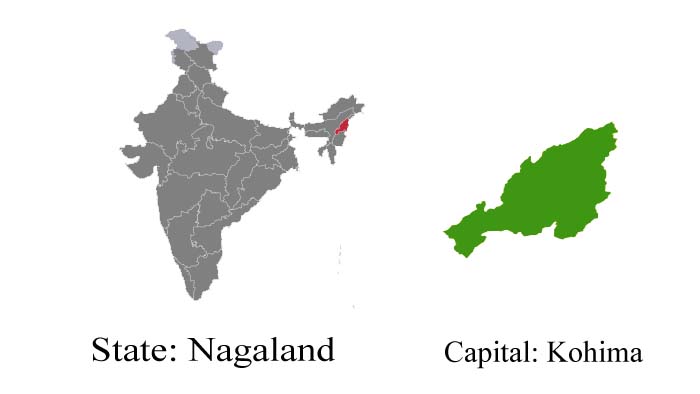
Nagaland – Switzerland of the East
Discover Nagaland, a fascinating landscape in the North-Eastern region of India. Travel to Nagaland in order to unearth the many-faceted of Nagaland, a place yet to be discovered. Travel to Nagaland is stunningly picturesque, vibrantly colorful, verdant, and green truly representing the tangible beauty of nature. Sometimes referred to as the ‘Switzerland of the East‘, your Nagaland travel will be a journey to self-discovery. Comprising 7 districts, Nagaland provides ample opportunity to explore. Stunningly picturesque, vibrantly colorful, verdant, and green truly representing the tangible beauty of nature, Nagaland is one land that everyone should explore.
Nagaland is a hill station waiting to be discovered. True, the creature comforts of a five-star culture may not be much in evidence. This, however, need not be a cause for any concern. The basic hygienic amenities of comfort are available. Besides, the five-star courtesy and hospitality of Nagas more than makeup for what may seem to be lacking. Apart from the rich. incomparable traditional and cultural heritage that is exclusive, it will be a rejuvenating bonus of the cool refreshing mountain air, and the dreamless sleep amidst the roaring sound of silence: an experience you will long remember.
Fast Facts :
-
Area: 16,579 sq km
-
Population: 1.4 million
-
Capital: Kohima
-
Languages spoken: Nagamese, Angami, Ao, Chang, Konyak, Lotha, Sangtam, Hindi, English
-
Best Time to visit: October to May.
-
Major Cities: Kohima, Dimapur, Langpangkong, Molung.
-
State Emblem: Emblem of Nagaland.

-
State Motto: Unity.
-
State Animal: Mithun.
-
State Bird: Blyth’s tragopan (Tragopan blythii).
-
State Tree: Alder (Alnus nepalensis).
-
State Flower: Tree rhododendron (Rhododendron arboreum).
- Nagaland, Culture, and Tradition

Tourist Attractions :
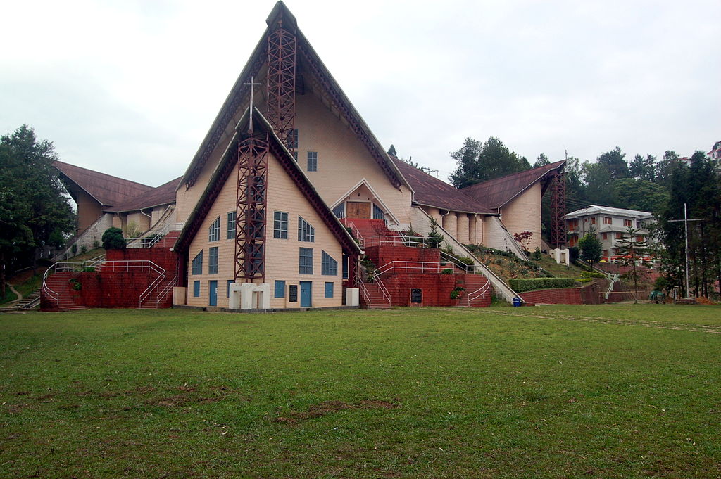
Kohima
Driving through hills and end fields covered with rich green grass and masses of beautiful flowers on the way from Dimapur to the capital city of Kohima is a unique experience. The city which stands at a height of 1,500 meters, came into the limelight during the Second World War when the British Indian forces were able to push back the Japanese and the INA of Subhash Chandra Bose from here. The old village of Kohima overlooks the modern city.
Dimapur
Dimapur, which means ‘the city of the river people, is at a distance of 75 km towards the northwest of Kohima. It is the biggest and the most industrialized town in Nagaland. The tourist attraction in this place is the ruins of the Kacheri Monuments. The Intanki Wildlife Sanctuary, located 37 km from Dimapur, is the habitat of the Elephants, Mithun, Hoolock Gibbons, Sambhars, Sloth Bears, tigers, and Wild Dogs.
Molung
Molung, had the American Baptist Mission established in 1872. The earliest mission building is still preserved in the village premises. An ancient leech tree, supposedly planted by Dr. Clark, the American Missionary, still exists.
Phek
Some of the most colorful species of orchids are found here. The habitat of the world-famous Blythe’s Tragopan, a pheasant of Nagaland. Chakesang culture and customs are quite different from the other Naga tribes. The stones and pillars near Chesezumi village on the Chazouba Road bear testimony to the existence of headhunting among villagers in the ancient days.
Ungma
Ungma, the oldest and biggest Ao village, is of great interest to people who have a desire to peep into Ao folklore, customs, and traditions.
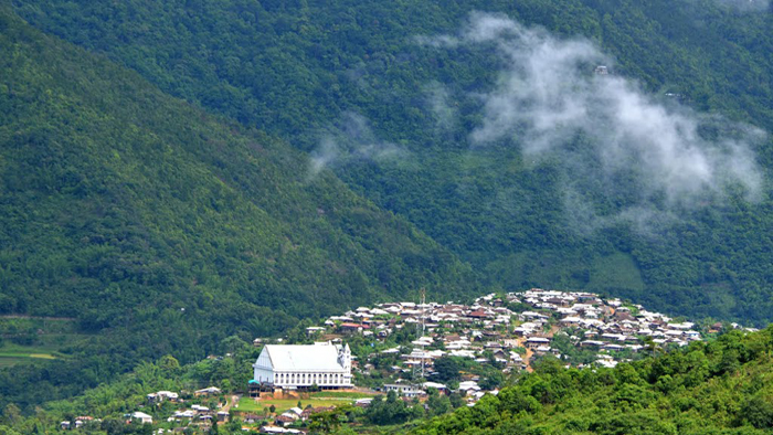
Kohima Village
Kohima Village, also known as Bara Basti (Big village), is one of the largest and most densely inhabited tribal villages in Asia. It is located on a high hill, facing Kohima town. At the entry point, a large ceremonial wooden gate ornamented with the scimitar of hornbills and buffalo horns can be seen. It is exemplary of Naga culture.
Longkhum
Longkhum, a vanguard village in the ‘days of headhunting’, commands a natural view. Mongzu ki eagle’s eyrie is situated at a high precipice where eagles have nested for centuries. The Ao mythology talks of the eagles, which are believed to be the manifestations of the spirits of the dead. From Mata Yimkong, the top of the hillocks where once stood a fortress, the Himalayas look fascinating.
Langpangkong
History speaks of an Ahom king who fled his capital due to court intrigues and rivalries and had taken refuge here. The cave which provided shelter still remains there.
Getting There :
-
By Air: The nearest airport is Dimapur (74 km from Kohima). Dimapur – Kolkata Indian Airlines flights. Taxi takes about 3 hours and about 4 hours by bus.
-
By Road: Kohima can be reached by bus from Dimapur on NH 39. Buses leave from Dimapur (Transport Bus Stand) for Kohima every hour from 5.30 am. One can also go to Kohima from Imphal (145 km). Road Distances: Kohima to Guwahati 390 km, to Kolkata: 1,516 km.
Suggested Read: Formation Dates of Indian States