Arunachal Pradesh Foundation Day
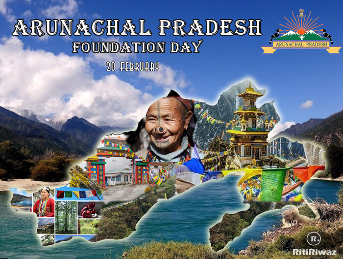
Arunachal Pradesh Foundation Day or Statehood day is celebrated on 20 February. In 1972, it was constituted as a Union Territory and renamed Arunachal Pradesh. and on 20th February 1987 when Arunachal Pradesh (Land of the Rising Sun) became a full-fledged state.
The mountainous frontier state of Arunachal Pradesh, Sanskrit for ‘land of the rising sun, is situated in the extreme northeastern part of the country. The state is formed out of Assam and in the west there is the border of the Bhutan kingdom and in the north falls the Tibetan region of China. Since the time it got recognition as a state, they celebrate Arunachal Pradesh Foundation Day on the 20th of February every year.
History
The Ahoms held the areas until the annexation of India by the British in 1858. However, most Arunachali tribes remained in practice largely autonomous up until Indian independence and the formalization of indigenous administration in 1947.
Once the Constitution of India came into force, the Government of Assam was relieved of its responsibilities of the Northeast Frontier Tracts (which later was known as NEFA), and the powers were vested in the Governor of Assam, a constitutional post and an agent of the President of India.
The modern history of Arunachal Pradesh begins with the inception of British rule in Assam after the treaty of Yandaboo, which concluded on 24 February 1826. Before 1962, the area was popularly known as the North-East Frontier Agency (NEFA) and was constitutionally a part of Assam. Because of its strategic importance, however, it was administered by the Ministry of External Affairs until 1965, and subsequently by the Ministry of Home Affairs, through the Governor of Assam.
Until 1972 NEFA was a part of Assam and was ruled by the Governor of Assam on 20 January 1972 NEFA was separated from Assam and made a Union Territory and renamed as Arunachal Pradesh. The Union Territory was then placed under the control of a chief commissioner.
Consequently, with the passing of the Constitution 55th Amendment Act, Arunachal Pradesh finally attained full political status on 20 February 1987.
Arunachal Pradesh borders the state of Assam to the south and Nagaland to the southeast. Myanmar lies to the east of the state, Bhutan to the west, while the McMahon Line separates it from the zone of control of the People’s Republic of China to the north. There are 16 districts in the Arunachal Pradesh state and its capital is Itanagar. Itanagar is situated in the Papum Pura district of the state. Ita Nagar means fort made of bricks. The Ita fort got built during the time of 14th Century AD.
The north-eastern-most frontier state of India, namely, Arunachal Pradesh, is an enchanting and alluring territory for its natural and scenic beauty and the rich cultural heritage of a large number of tribal communities inhabiting the state.
Facts about Arunachal Pradesh
-
During the British Colonial Rule, until 1972, the state was named as the North-East Frontier Agency (NEFA).
-
On 20th January 1972, it became a Union Territory and was named Arunachal Pradesh.
-
Arunachal Pradesh became the 24th state of the Indian Union on 20th February 1987 after the 55th amendment to the Indian Constitution in 1986.
-
The state is also got mentioned in Kalika Purana and Mahabharata literature from the Prabhu Mountains.
-
The widely scattered archaeological remains at different places in Arunachal Pradesh bear testimony to its rich culture and heritage.
-
Among the northeastern states, Arunachal Pradesh has the largest area. The area of the state is even more than Assam which is the most populous north-eastern state.
-
Mizoram statehood day is also celebrated on 20th February as with the 53rd Amendment of the Indian Constitution, 1986 the state of Mizoram was formed.
-
Much of Arunachal Pradesh is covered by the Himalayas. However, parts of Lohit, Changlang and Tirap are covered by the Patkai hills.
-
The state is inhabited by the world’s largest variety of ethnic tribal groups and subgroups numbering over a hundred and each tribe speaks its own language and dialect. The significant tribal groups include Monpas, Nyishis, Apatanis, Noctes, and Sherdukpens.
-
Mostly the population of the state depends on Agriculture, mainly Jhum cultivation (slash and burn cultivation).
Suggested Read: Formation Dates of Indian States